Category: ⛰ > 2501m
Routes of more than 2,501 meters of maximum height.
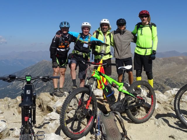
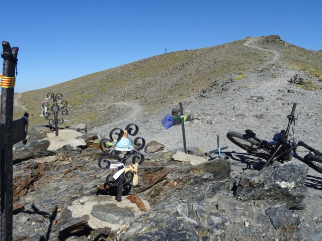
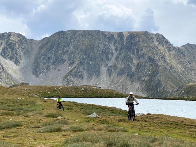
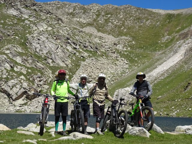
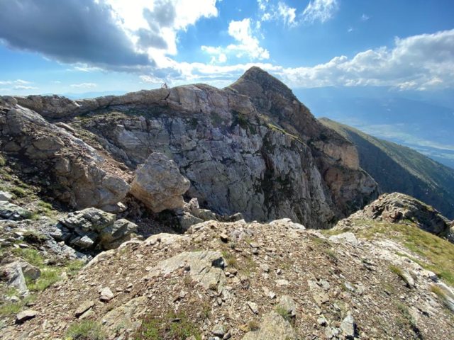
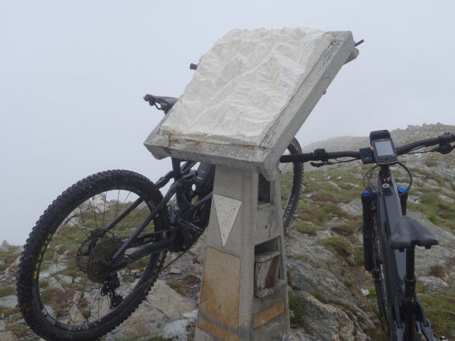
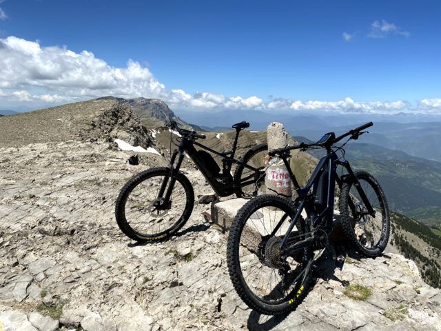
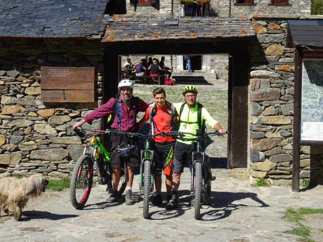
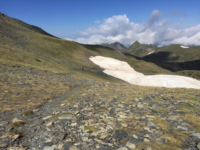
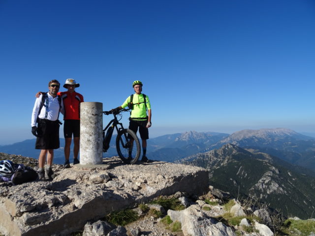
Estanh de Bacivér-Tuc deth Dossau-Marimanha
Maximum height of the route: 2,520 meters Brief description: Easy route to the magnificent landscapes of the Aran valley. Geographical area: Val D’aran Cyclability Difficulty: Blue Route Briefing Video of the route Download the track of the route Image gallery