Maximum height of the route: 2380 meters Brief description: From Llívia to the birth of the river Segre, the most long river in Catalonia. Beautiful morning in a little-visited place by bike. I take the secondary roads to go more … TOTA LA RUTA AQUÍLlívia – Font del Segre
Maximum height of the route: 2,077 meters Brief description: Surely one of the best and most complete routes that can be made in the massif of Rasos de Peguera with an e-bike. Leaving the Plaza dels Rasos climbs, the old … TOTA LA RUTA AQUÍRasos de Peguera integral
Maximum height of the route: 2,040 meters Brief description: Interesting excursion departing from the core of Ogassa. You climb up a good track until below Coll de Pal. At this point the track ends and you have to climb, without … TOTA LA RUTA AQUÍEl Puig Estela i el Taga
Maximum height of the route: 2,388 meters Brief description: Long and hard excursion through the highest parts of the mountain range of Port del Comte. The point of departure and arrival is the town of Sant Llorenç de Morunys.Es climbs … TOTA LA RUTA AQUÍEls cims de la Serra del Port del Comte
Maximum height of the route: 2,379 meters Brief description: Climb up the beautiful Val de Ruda to the hidden Saboredo Lake with a visit to all its lakes. It passes through the refuge saved of the same name where we … TOTA LA RUTA AQUÍVal de Ruda and Lacs de Saboredo
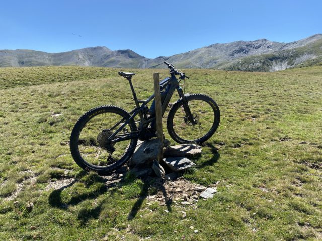
Maximum height of the route: 2,820 meters Brief description: Complete high mountain track with not big difficulty . Great panoramic and fun. Ideal to start. Consumption approx. 500 W-600 W Geographical area: Haute-Cerdagne Cyclability Difficulty: Red Route Briefing Video of … TOTA LA RUTA AQUÍComa d’Or – Estany de Lanos
Maximum height of the route: 1,526 meters Brief description: Discover the Serra de Busa following its most emblematic places and climb up to the two highest peaks of the mountain range. Large panoramic views on all sides due to the … TOTA LA RUTA AQUÍEl Cogul i la Llebre (Serra de Busa)
Maximum height of the route: 2,477 meters Brief description: Circular route between the Val D'aran and the valley of Benás raising the important ports dera Picada (2477 M.) and Benás (2445). Large panoramic views over the Maladeta mountain range. Highlight … TOTA LA RUTA AQUÍPòrt dera Picada i Port de Benás
Maximum height of the route: 2,537 meters Brief description: Climb to the peaks of Tosa D’alp and puiglaunched from the ski resort of La Molina. The hardest stretch is the climb from Coll de Pal to puiglaunched. Large panoramic views … TOTA LA RUTA AQUÍTosa d’Alp i Puigllançada
Maximum height of the route: 2,808 meters Brief description: It crosses from Vallter to Queralbs and through Nuria and reaching the top of La Fossa del Gegant, next to the Coll de Noucreus. Geographical area: Ripollès Cyclability Difficulty: Red Route … TOTA LA RUTA AQUÍPic de la Fossa del Gegant (Vallter-Núria)