Category: 🚲 95-99%
Routes between 95 and 99% of cyclability.
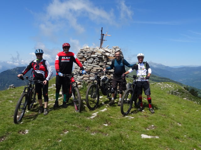
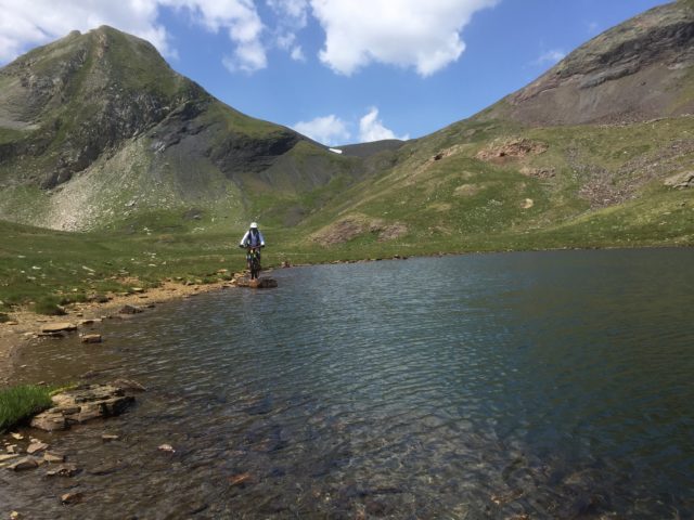
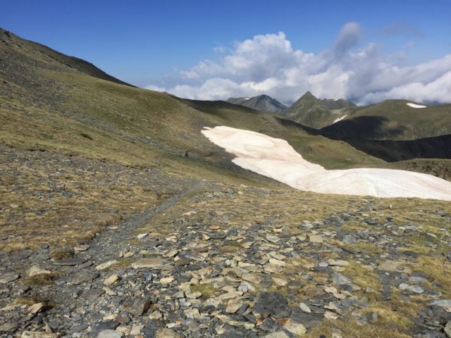
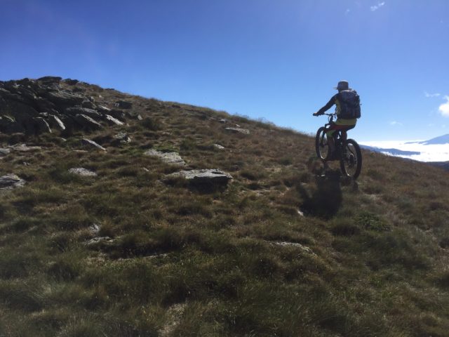
Estanh de Bacivér-Tuc deth Dossau-Marimanha
Maximum height of the route: 2,520 meters Brief description: Easy route to the magnificent landscapes of the Aran valley. Geographical area: Val D’aran Cyclability Difficulty: Blue Route Briefing Video of the route Download the track of the route Image gallery
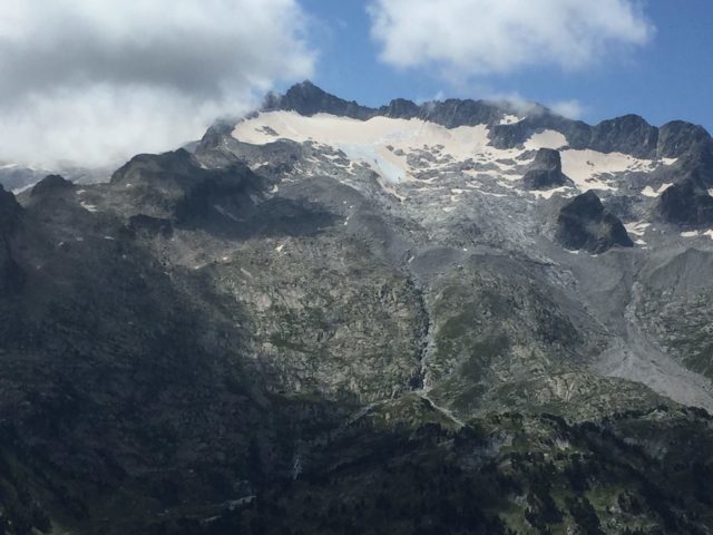
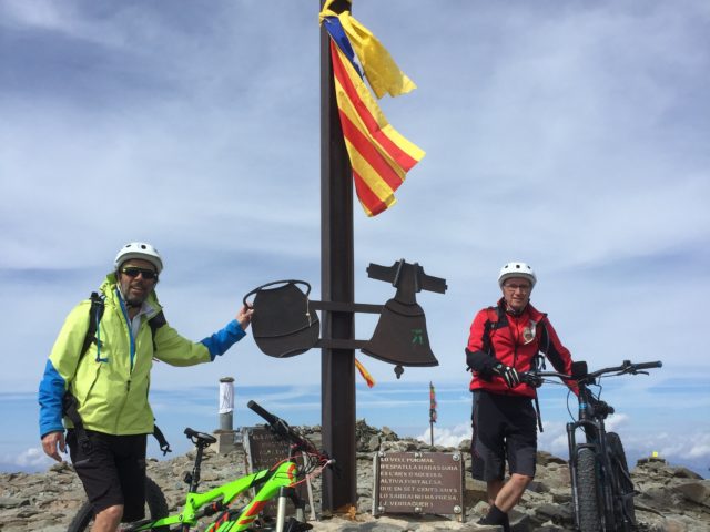
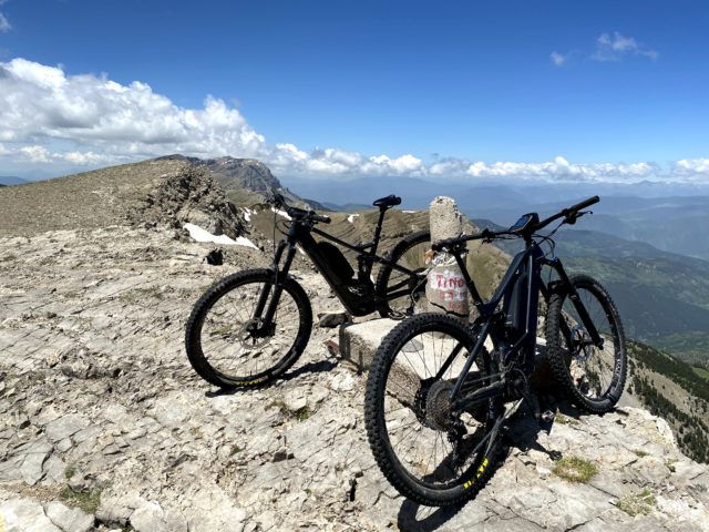
Pic de Mortiers
Maximum height of the route: 2,605 meters Brief description: Classic high mountain bike route. Great panoramic views. Geographical area: Capcir Cyclability Difficulty: Blue Route Briefing Video of the route Download the track of the route Image gallery