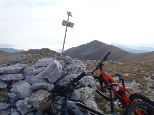
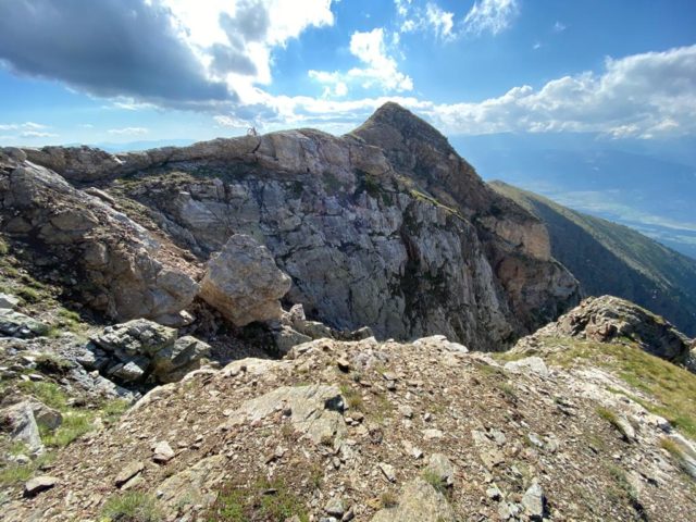
Maximum height of the route: 2,711 meters Brief description: We leave the village of Eina in the Haute Cerdagne and by the way we climb the ski resort. From here I start on a green track, after the blue and … TOTA LA RUTA AQUÍCambre d’Ase N.
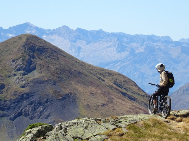
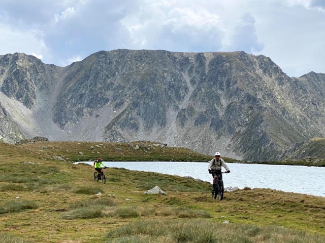
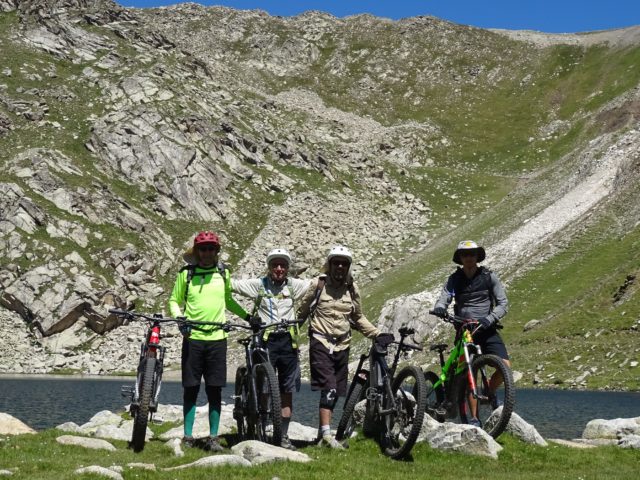
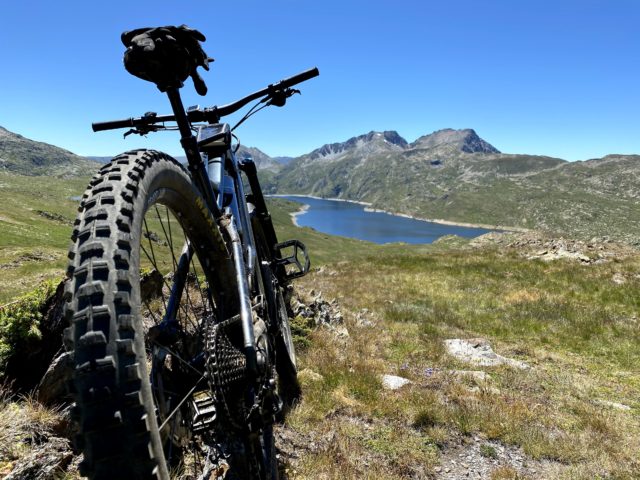
Maximum height of the route: 2,426 meters Brief description: It is a magnificent high mountain route that passes through the three large lakes (all three with locks) of North Catalonia. We left the edge of the beautiful and touristic Lake … TOTA LA RUTA AQUÍEls tres grans llacs de la Catalunya N
Maximum height of the route: 2380 meters Brief description: From Llívia to the birth of the river Segre, the most long river in Catalonia. Beautiful morning in a little-visited place by bike. I take the secondary roads to go more … TOTA LA RUTA AQUÍLlívia – Font del Segre