Skip to content
Over the Clouds

Over the Clouds

El plaer de recórrer valls, carenes i assolir cims

  • Cyclability
    • 🚲<80%
    • 🚲 80-90%
    • 🚲 90-95%
    • 🚲 95-99%
    • 🚲 100%
  • Difficulty
    • Green (Easy)
    • Blue (intermediate)
    • Red (difficult)
    • Black (very difficult)
  • Geography
    • Catalan Pyrenees
    • French Pyrenees
    • The Andorran Pyrenees
    • Pre-Pyrenees
    • Inland Catalonia
    • Other
  • Maximum elevation
    • ⛰<1500m
    • ⛰ 1501-2500m
    • ⛰ > 2501m
  • About Us
  • English
    • Català
    • English
    • Español
    • Français

Category: Black (very difficult)

Routes of very high difficulty. Only for real bikers.

Categories ⛰ 1501-2500m Black (very difficult) 🚲 95-99%
Colhada de Varradòs -Mines deth Horcalh

Colhada de Varradòs -Mines deth Horcalh

Posted on Posted on17 April, 202024 April, 2020By Joan

Maximum height of the route: 2,450 meters Brief description: Beautiful and tough route through the most secluded and unknown landscapes of the Aran Valley with a mining past. Geographical area: Val D'aran Cyclability Difficulty: Black Route Briefing Video of the … TOTA LA RUTA AQUÍColhada de Varradòs -Mines deth Horcalh

Categories ⛰ 1501-2500m Black (very difficult) 🚲 80-90%
Cap de la Gallina Pelada (Serra d’Ensija)

Cap de la Gallina Pelada (Serra d’Ensija)

Posted on Posted on14 April, 2020By Jaume

Maximum height of the route: 2,317 meters Brief description: Climb to the culminating summit of the Serra D'ensija from the Font Freda. The first stretch of climb is very difficult but once in the area of meadows is a delight. … TOTA LA RUTA AQUÍCap de la Gallina Pelada (Serra d’Ensija)

Categories ⛰ > 2501m Black (very difficult) 🚲 95-99%
Puigmal des d’Err

Puigmal des d’Err

Posted on Posted on13 April, 2020By Jaume

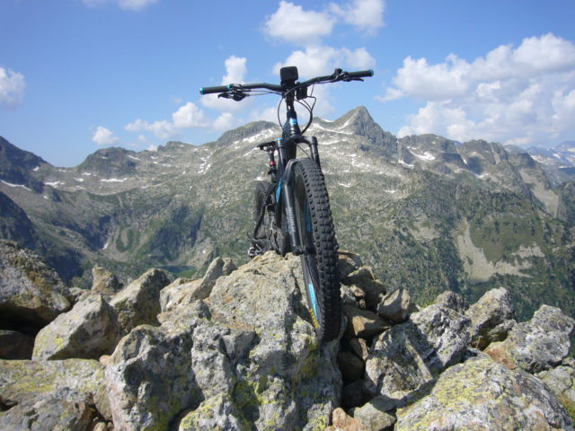
Maximum height of the route: 2,911 meters Brief description: Climb to the summit of Puigmal making a circular route from the town of Err. It goes up the old ski slopes of Puigmal 2600 and it is returned by the … TOTA LA RUTA AQUÍPuigmal des d’Err

Categories ⛰ 1501-2500m Black (very difficult) 🚲 80-90%
Tuc de Salana – Montcasau – Prüedo

Tuc de Salana – Montcasau – Prüedo

Posted on Posted on12 April, 2020By Jaume

Maximum height of the route: 2,486 meters Brief description: Short but intense high mountain route through the peripheral area of the Aigüestortes National Park with the difficult ascent to Tuc de Salana. Geographical area: Pyrenees Cyclability Difficulty: Black Route Briefing … TOTA LA RUTA AQUÍTuc de Salana – Montcasau – Prüedo

Categories ⛰ > 2501m Black (very difficult) 🚲 95-99%
Malh de Bolard i Tuc der Òme

Malh de Bolard i Tuc der Òme

Posted on Posted on11 April, 2020By Jaume

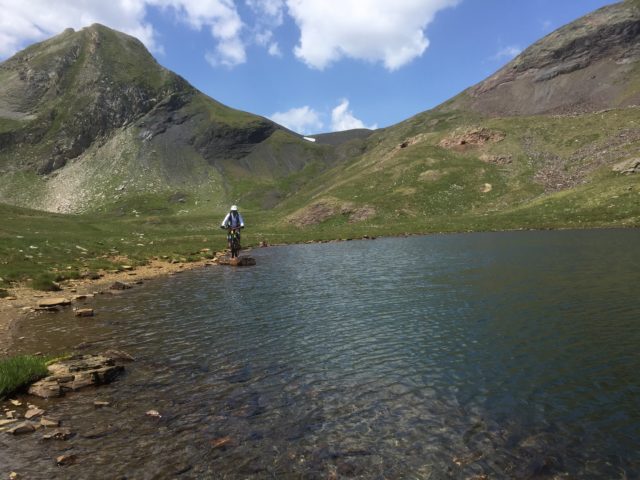
Maximum height of the route: 2,753 meters Brief description: Great high mountain route on the northern slope of the Val d'aran, perhaps the most unknown part of this beautiful valley. They climb up to two summits of considerable height, the … TOTA LA RUTA AQUÍMalh de Bolard i Tuc der Òme

Categories ⛰ > 2501m Black (very difficult) 🚲 90-95%
Travessa de la Serra del Cadí

Travessa de la Serra del Cadí

Posted on Posted on9 April, 2020By Jaume

Maximum height of the route: 2,653 meters Brief description: Integral route through the Cape of the mountains from west to east (Cap de la Fesa-Serra Pedregosa) Geographical area: Catalan pre-Pyrenees Cyclability Difficulty: Black Route Briefing Video of the route Download … TOTA LA RUTA AQUÍTravessa de la Serra del Cadí

Posts navigation

Previous Page 1 Page 2 Page 3
  • YOUTUBE
Copyright © 2025 Over the Clouds | Travelore by Catch Themes
Scroll Up