Skip to content
Over the Clouds

Over the Clouds

El plaer de recórrer valls, carenes i assolir cims

  • Cyclability
    • 🚲<80%
    • 🚲 80-90%
    • 🚲 90-95%
    • 🚲 95-99%
    • 🚲 100%
  • Difficulty
    • Green (Easy)
    • Blue (intermediate)
    • Red (difficult)
    • Black (very difficult)
  • Geography
    • Catalan Pyrenees
    • French Pyrenees
    • The Andorran Pyrenees
    • Pre-Pyrenees
    • Inland Catalonia
    • Other
  • Maximum elevation
    • ⛰<1500m
    • ⛰ 1501-2500m
    • ⛰ > 2501m
  • About Us
  • English
    • Català
    • English
    • Español
    • Français

Category: 🚲 95-99%

Routes between 95 and 99% of cyclability.

Categories ⛰ > 2501m Blue (intermediate) 🚲 95-99%
El Monturull-Llacs de la Pera

El Monturull-Llacs de la Pera

Posted on Posted on12 April, 2020By Joan

Maximum height of the route: 2,760 meters Brief description: Easy climb to Pic Negre and fun trial bike to the refuge of the Estany de la Pera Geographical area: Cerdanya Cyclability Difficulty: Blue Route Briefing Video of the route Download … TOTA LA RUTA AQUÍEl Monturull-Llacs de la Pera

Categories ⛰ 1501-2500m Blue (intermediate) 🚲 95-99%
Llívia  –  Estany de Coll Roig

Llívia – Estany de Coll Roig

Posted on Posted on12 April, 2020By Joan

Maximum height of the route: 2,470 meters Brief description: Estany de Coll Roig and the port of Maurà. Great unknown and lonely landscapes. Geographical area: Cerdanya Cyclability Difficulty: Blue Route Briefing Video of the route Download the track of the … TOTA LA RUTA AQUÍLlívia – Estany de Coll Roig

Categories ⛰ > 2501m Red (difficult) 🚲 95-99%
La Carabassa-Bony del Manyer-Cercle d’Engorgs

La Carabassa-Bony del Manyer-Cercle d’Engorgs

Posted on Posted on12 April, 2020By Joan

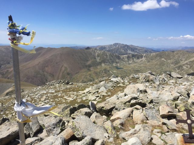
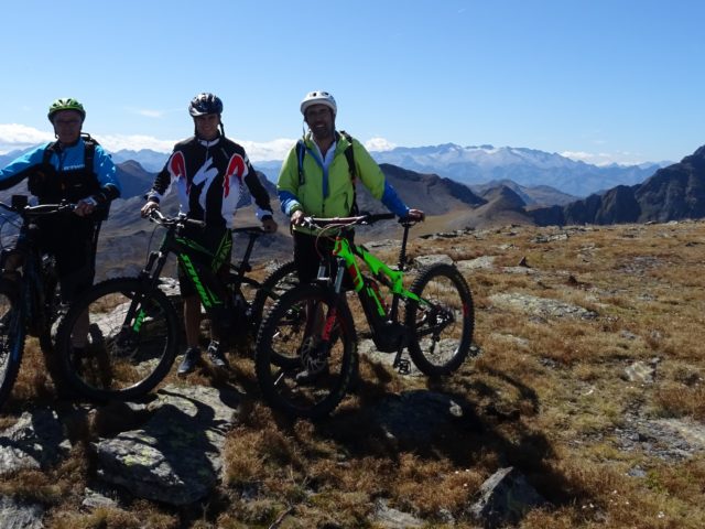
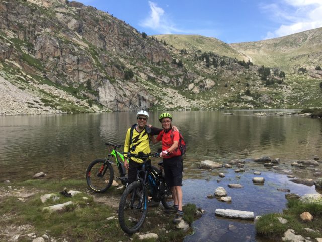
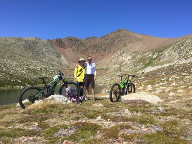
Maximum height of the route: 2,809 meters Brief description: Very beautiful mountain route in La Cerdanya Geographical area: Cerdanya Cyclability Difficulty: Red Route Briefing Video of the route Download the track of the route Image gallery

Categories ⛰ > 2501m Red (difficult) 🚲 95-99%
Puigpedrós

Puigpedrós

Posted on Posted on12 April, 2020By Joan

Maximum height of the route: 2,915 meters Brief description: Route without great difficulty climbing to one of the highest peaks of La Cerdanya Geographical area: Cerdanya Cyclability Difficulty: Red Route Briefing Video of the route Download the track of the … TOTA LA RUTA AQUÍPuigpedrós

Categories ⛰ > 2501m Black (very difficult) 🚲 95-99%
Malh de Bolard i Tuc der Òme

Malh de Bolard i Tuc der Òme

Posted on Posted on11 April, 2020By Jaume

Maximum height of the route: 2,753 meters Brief description: Great high mountain route on the northern slope of the Val d'aran, perhaps the most unknown part of this beautiful valley. They climb up to two summits of considerable height, the … TOTA LA RUTA AQUÍMalh de Bolard i Tuc der Òme

Posts navigation

Previous Page 1 … Page 4 Page 5
  • YOUTUBE
Copyright © 2025 Over the Clouds | Travelore by Catch Themes
Scroll Up