Skip to content
Over the Clouds

Over the Clouds

El plaer de recórrer valls, carenes i assolir cims

  • Cyclability
    • 🚲<80%
    • 🚲 80-90%
    • 🚲 90-95%
    • 🚲 95-99%
    • 🚲 100%
  • Difficulty
    • Green (Easy)
    • Blue (intermediate)
    • Red (difficult)
    • Black (very difficult)
  • Geography
    • Catalan Pyrenees
    • French Pyrenees
    • The Andorran Pyrenees
    • Pre-Pyrenees
    • Inland Catalonia
    • Other
  • Maximum elevation
    • ⛰<1500m
    • ⛰ 1501-2500m
    • ⛰ > 2501m
  • About Us
  • English
    • Català
    • English
    • Español
    • Français

Category: 🚲 80-90%

Routes between 80 and 90% of cyclability.

Categories ⛰ > 2501m Black (very difficult) The Andorran Pyrenees 🚲 80-90%
Montmalús-Portella Blanca-Pic Negre d’Envalira

Montmalús-Portella Blanca-Pic Negre d’Envalira

Posted on Posted on18 August, 202028 October, 2020By Jaume


Categories ⛰ 1501-2500m Black (very difficult) 🚲 80-90%
Cap de la Gallina Pelada (Serra d’Ensija)

Cap de la Gallina Pelada (Serra d’Ensija)

Posted on Posted on14 April, 2020By Jaume

Maximum height of the route: 2,317 meters Brief description: Climb to the culminating summit of the Serra D'ensija from the Font Freda. The first stretch of climb is very difficult but once in the area of meadows is a delight. … TOTA LA RUTA AQUÍCap de la Gallina Pelada (Serra d’Ensija)

Categories ⛰ 1501-2500m Black (very difficult) 🚲 80-90%
Tuc de Salana – Montcasau – Prüedo

Tuc de Salana – Montcasau – Prüedo

Posted on Posted on12 April, 2020By Jaume

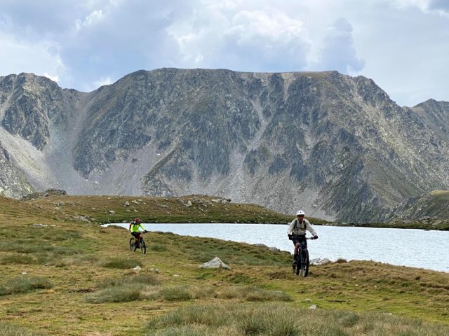
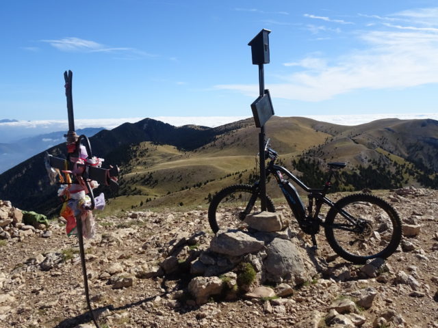
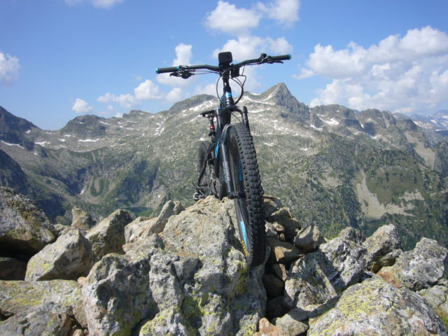
Maximum height of the route: 2,486 meters Brief description: Short but intense high mountain route through the peripheral area of the Aigüestortes National Park with the difficult ascent to Tuc de Salana. Geographical area: Pyrenees Cyclability Difficulty: Black Route Briefing … TOTA LA RUTA AQUÍTuc de Salana – Montcasau – Prüedo

  • YOUTUBE
Copyright © 2025 Over the Clouds | Travelore by Catch Themes
Scroll Up