Category: ⛰ > 2501m
Routes of more than 2,501 meters of maximum height.
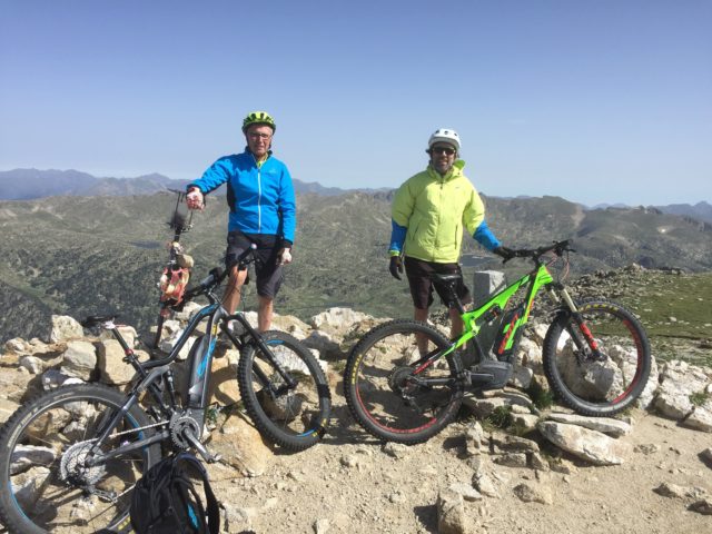
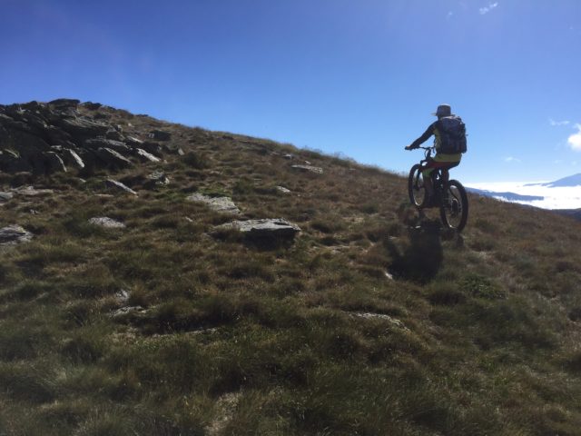
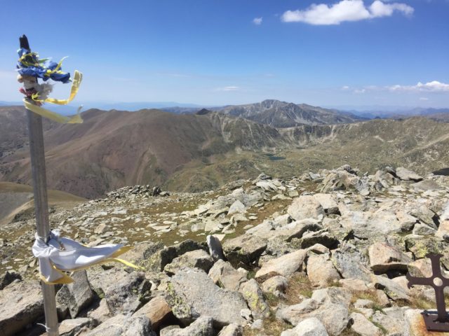
Pic de Mortiers
Maximum height of the route: 2,605 meters Brief description: Classic high mountain bike route. Great panoramic views. Geographical area: Capcir Cyclability Difficulty: Blue Route Briefing Video of the route Download the track of the route Image gallery
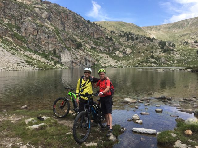

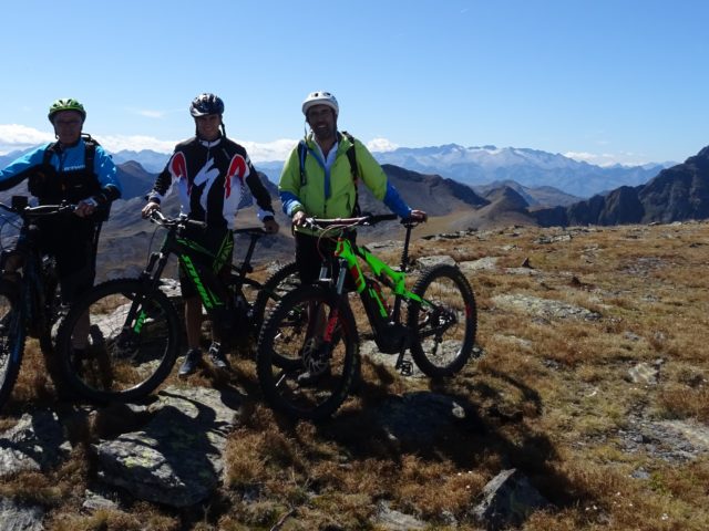
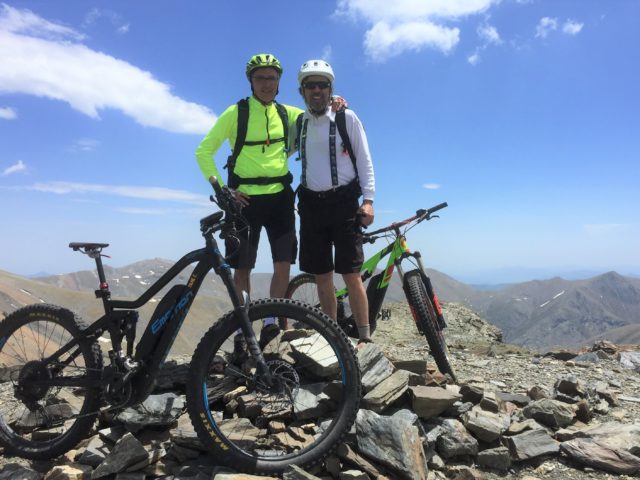
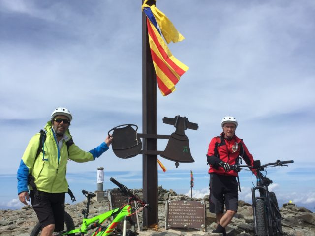
La Carabassa-Bony del Manyer-Cercle d’Engorgs
Maximum height of the route: 2,809 meters Brief description: Very beautiful mountain route in La Cerdanya Geographical area: Cerdanya Cyclability Difficulty: Red Route Briefing Video of the route Download the track of the route Image gallery