Skip to content
Over the Clouds

Over the Clouds

El plaer de recórrer valls, carenes i assolir cims

  • Cyclability
    • 🚲<80%
    • 🚲 80-90%
    • 🚲 90-95%
    • 🚲 95-99%
    • 🚲 100%
  • Difficulty
    • Green (Easy)
    • Blue (intermediate)
    • Red (difficult)
    • Black (very difficult)
  • Geography
    • Catalan Pyrenees
    • French Pyrenees
    • The Andorran Pyrenees
    • Pre-Pyrenees
    • Inland Catalonia
    • Other
  • Maximum elevation
    • ⛰<1500m
    • ⛰ 1501-2500m
    • ⛰ > 2501m
  • About Us
  • English
    • Català
    • English
    • Español
    • Français

El Monturull-Llacs de la Pera

Posted on Posted on12 April, 2020By Joan

Maximum height of the route:

2,760 meters

Brief description:

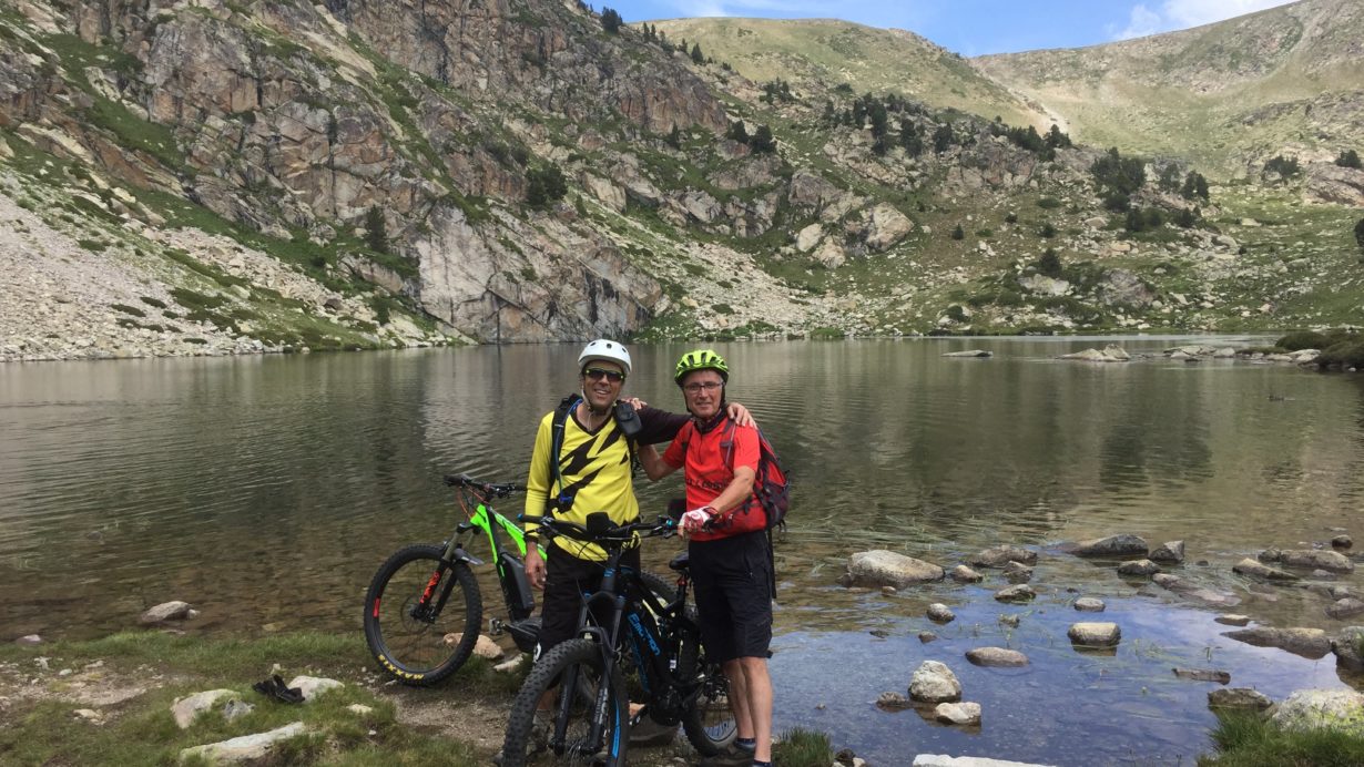
Easy climb to Pic Negre and fun trial bike to the refuge of the Estany de la Pera

Geographical area:

Cerdanya

Cyclability

Ciclabilitat 99%

Difficulty:

Blue

Route Briefing

Video of the route

Download the track of the route

18-08-06 Bescaran-Pic black-Monturull-pear Lakes-Coll de la Font of Aristounye Download

Image gallery

Post navigation

Previous PostLlívia – Estany de Coll RoigPrevious Post
Next PostPic de MortiersNext Post
  • YOUTUBE
Copyright © 2025 Over the Clouds | Travelore by Catch Themes
Scroll Up