Skip to content
Over the Clouds

Over the Clouds

El plaer de recórrer valls, carenes i assolir cims

  • Cyclability
    • 🚲<80%
    • 🚲 80-90%
    • 🚲 90-95%
    • 🚲 95-99%
    • 🚲 100%
  • Difficulty
    • Green (Easy)
    • Blue (intermediate)
    • Red (difficult)
    • Black (very difficult)
  • Geography
    • Catalan Pyrenees
    • French Pyrenees
    • The Andorran Pyrenees
    • Pre-Pyrenees
    • Inland Catalonia
    • Other
  • Maximum elevation
    • ⛰<1500m
    • ⛰ 1501-2500m
    • ⛰ > 2501m
  • About Us
  • English
    • Català
    • English
    • Español
    • Français

Estanh de Bacivér-Tuc deth Dossau-Marimanha

Posted on Posted on17 April, 202024 April, 2020By Joan

Maximum height of the route:

2,520 meters

Brief description:

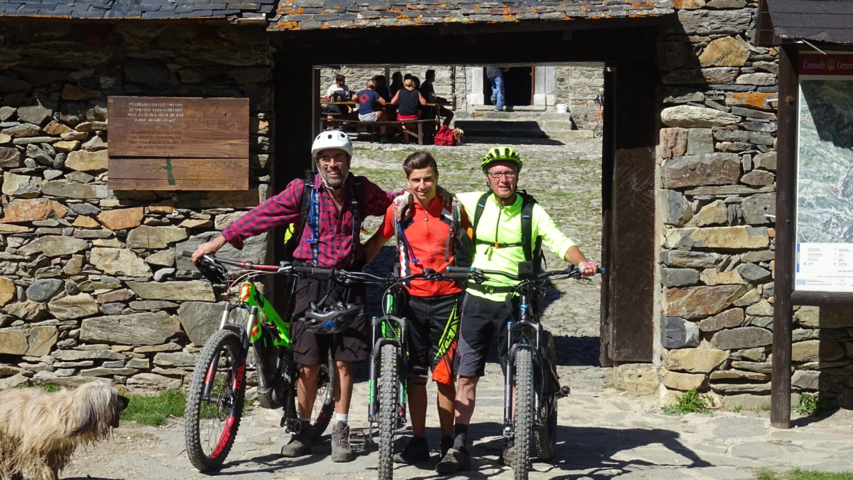
Easy route to the magnificent landscapes of the Aran valley.

Geographical area:

Val D’aran

Cyclability

Ciclabilitat 99%

Difficulty:

Blue

Route Briefing

Video of the route

Download the track of the route

2019-09-29 Orri-Baciver-Marimanha-Montgarri-Beretdownload

Image gallery

Post navigation

Previous PostColhada de Varradòs -Mines deth HorcalhPrevious Post
Next PostVal de Ruda and Lacs de SaboredoNext Post
  • YOUTUBE
Copyright © 2025 Over the Clouds | Travelore by Catch Themes
Scroll Up