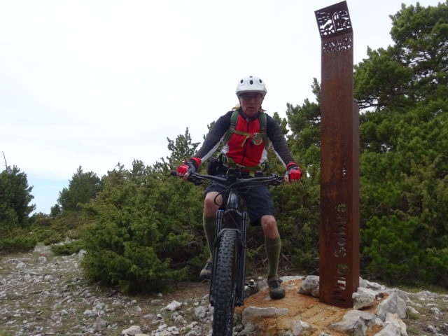
Categories ⛰ 1501-2500m Pre-Pyrenees Red (difficult) 🚲 95-99% El Puig Sobirà Posted on Posted on10 May, 202210 May, 2022By Jaume
Categories ⛰ 1501-2500m Inland Catalonia Red (difficult) Sin categoría 🚲 95-99% Bellmunt-Salt del Molí-Puigsacalm Posted on Posted on3 March, 2022By Jaume … TOTA LA RUTA AQUÍBellmunt-Salt del Molí-Puigsacalm
Categories ⛰ 1501-2500m Inland Catalonia Red (difficult) 🚲 95-99% Bellmunt-Salt del Molí-Puigsacalm Posted on Posted on3 March, 2022By Jaume … TOTA LA RUTA AQUÍBellmunt-Salt del Molí-Puigsacalm
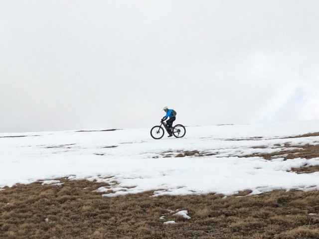
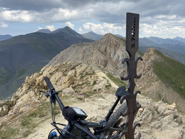
Categories ⛰ > 2501m Catalan Pyrenees Red (difficult) 🚲 100% La Carabassa hivernal Posted on Posted on16 February, 2022By Joan
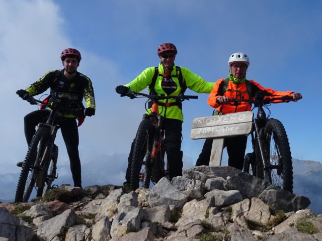
Categories ⛰ 1501-2500m Catalan Pyrenees Red (difficult) 🚲 95-99% El Moixeró Posted on Posted on18 October, 202118 October, 2021By Jaume
Categories ⛰ 1501-2500m Catalan Pyrenees Red (difficult) Sin categoría 🚲 100% Panoràmiques des de Mitjaran: Salient-Cròdos Posted on Posted on2 October, 2021By Jaume … TOTA LA RUTA AQUÍPanoràmiques des de Mitjaran: Salient-Cròdos
Categories ⛰ 1501-2500m Catalan Pyrenees Red (difficult) Sin categoría 🚲 95-99% Son-Pas del Coro-Pla de la Font-Quartiles Posted on Posted on13 August, 2021By Jaume
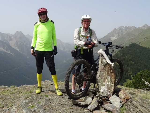
Categories ⛰ > 2501m Red (difficult) Sin categoría The Andorran Pyrenees 🚲 90-95% El Casamanya Posted on Posted on23 July, 2021By Jaume
Categories ⛰ 1501-2500m Catalan Pyrenees Red (difficult) Sin categoría 🚲 95-99% Volta a l’entorn del Plan de Beret Posted on Posted on11 July, 2021By Jaume
Categories ⛰ 1501-2500m Catalan Pyrenees Red (difficult) Sin categoría 🚲 95-99% Volta a l’entorn del Plan de Beret Posted on Posted on11 July, 2021By Jaume